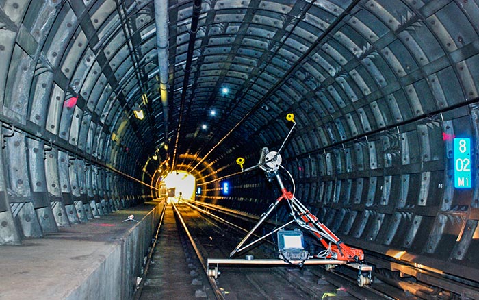
Towill’s surveyors and photogrammetrists have worked on numerous rail projects, providing design and construction support including primary survey control, topographic mapping, utility investigations, right of way engineering for land appraisal and acquisition, earthquake safety and seismic retrofits, track and tunnel alignment verifications, and construction management for rail corridor and stations. We have surveyed and mapped many high-profile metro rail projects throughout the United States.
| |
- 3D digital terrain models
- Aerial orthophotography
- Aerial mapping
- Airborne LiDAR
- Boundary surveys and cadastral mapping
- Construction support
- Detailed topographic field surveys
- Eminent domain exhibits
- ESRI deliverables
- GIS development and data integration
- Parcel acquisition legal descriptions and plats
|
|
- Primary geodetic survey control
- Rail as-builts
- Rail yard improvements
- Right of way and appraisal mapping
- Right of way engineering support
- Secondary and photo survey control
- Survey methodology and procedures consultation
- Terrestrial LiDAR
- Utility location and identification
- Utility pothole coordination
- Utility relocation surveys
|
|