Volumetrics


Towill's markets include aviation, dams, energy, environmental, federal/state/local government, rail/transit, transportation, tunneling, volumetrics, and water/wastewater.

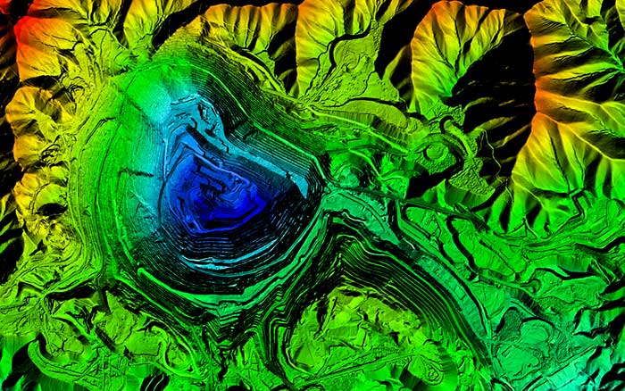
Volumetric services involve calculating material volumes, both fluid and dry, and analyzing and calculating changes in volume for inventory and reporting purposes. We provide terrain data and perform data analysis for stockpile volumes, period-to-period change, reserve volumes, and reservoir capacities. The terrain data used for the computations can come from many different sources, including field survey, aerial photogrammetry, airborne LiDAR, mobile mapping, or terrestrial laser scanning.
 
For any and all terrain data sources, Towill uses the most rigorous computation techniques for our volumetric work in order to provide our clients with the most accurate volumes possible.


  • 3D digital terrain models
  • Aerial orthophotography
  • Aerial mapping
  • Airborne LiDAR
  • Capacity curve calculations
  • Construction support
  • Detailed topographic field surveys
  • GIS development and data integration
  • Pre- to post-excavation surface certification
 
  • Primary geodetic survey control
  • Secondary and photo survey control
  • Sedimentation studies
  • Solid waste remediation and containment sites
  • Stockpile quantities
  • Survey methodology and procedures consultation
  • Terrestrial LiDAR
  • Volumetric calculations