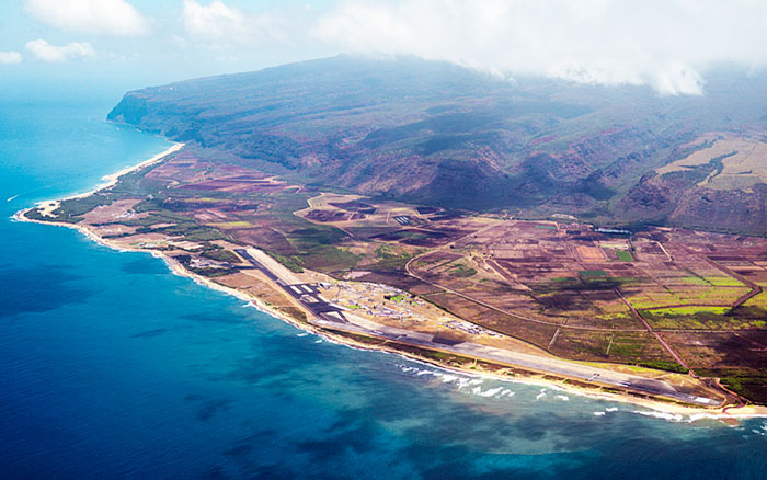
Since our firm’s inception in 1955, Towill has served as both a prime contractor and a subcontractor on hundreds of contracts for Federal Government agencies. This includes contracts issued by Department of Defense (DoD) agencies, including the U.S. Navy, U.S. Coast Guard, U.S. Marines, U.S. Air Force, and U.S. Army Corps of Engineers. Towill has successfully provided mapping and surveying services for these DoD agencies; we intimately know the necessary technical standards, administrative procedures, and expectations. We are committed to working side by side with our clients solve complex surveying and engineering challenges.
| |
- 3D digital terrain models
- 3D topographic and bathymetric models
- Aerial orthophotography
- Aerial mapping
- Airbase mapping
- Airborne LiDAR
- Airborne LiDAR seismic studies
- Bathymetric (hydrographic) surveys
- Boundary surveys and cadastral mapping
- Bridge and structures hydraulic surveys
- Brownfield site support
- CEPD compliance evaluations
- Coastal and shoreline surveys
- Coastal jetty and harbor structures studies
- Construction support
- Dam seismic remediation support
- Detailed topographic field surveys
- Drainage basin revitalization studies
|
|
- Eminent domain exhibits
- ESRI deliverables
- Flood control structures
- Floodplain feasibility studies
- GIS development and data integration
- Levee improvements
- NOAA tidal observations and datum determinations
- Parcel acquisition legal descriptions and plats
- Post-flood emergency mapping
- Primary geodetic survey control
- Riverine and estuary studies
- Secondary and photo survey control
- Survey methodology and procedures consultation
- Terrestrial LiDAR
- Utility location and identification
- Utility pothole coordination
- Watershed mapping
|
|

