Aviation


Towill's markets include aviation, dams, energy, environmental, federal/state/local government, rail/transit, transportation, tunneling, volumetrics, and water/wastewater.

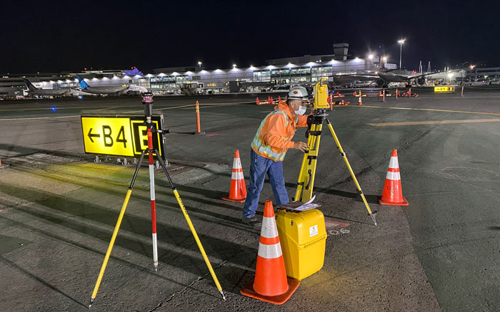
Towill’s airport experience encompasses decades of surveying, mapping, and GIS services for airports throughout the United States and the Pacific Rim, with over 10 years of experience performing airfield navigation, obstruction, and related types of surveys at civilian and military airports.
 
Towill was among the first firms in the United States to successfully combine field surveying methods with aerial photogrammetry to accomplish accurate, comprehensive airfield obstruction surveys economically, safely, and quickly. Today we integrate airborne LiDAR technology into the mix, taking advantage of the time, cost, and accuracy benefits that this technology offers for a variety of mapping applications at airports.


  • 3D digital terrain models
  • Aerial orthophotography
  • Aerial mapping
  • Airborne LiDAR
  • Airfield obstruction surveys
  • Airport layout and eALP mapping
  • Airports GIS (aGIS) submittals
  • Construction support
  • Detailed topographic field surveys
  • ESRI deliverables
  • FAR Part77 surfaces
  • GIS development and data integration
 
  • LPV surveys
  • PACS and SACS blue booking
  • Primary geodetic survey control
  • Secondary and photo survey control
  • Survey methodology and procedures consultation
  • Taxiway and runway improvements
  • Terminal as-builts and improvements
  • TERPS airfield obstruction clearances
  • Terrestrial LiDAR
  • Utility location and identification
  • Utility pothole coordination
  • Utility relocation surveys