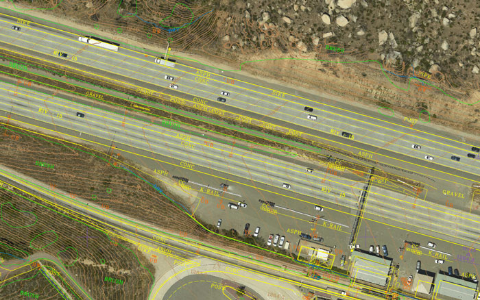
Towill has a strong depth of experience providing design and construction surveying and mapping services for some of our regions’ most important and high-profile transportation projects. As our local cities and counties continue to grow, so does the need to increase and update our transportation infrastructure. Towill staff members are experts in working on projects for airports, ports, railways, public transit, highways and local roadways, bridges and grade separations, and for pedestrian and bicycle pathways.
| |
- 3D digital terrain models
- Aerial orthophotography
- Aerial mapping
- Airborne LiDAR
- Boundary surveys and cadastral mapping
- Bridge as-built and QA surveys
- Caltrans “ABC” mapping
- Construction support
- Corridor mapping
- Detailed topographic field surveys
- Eminent domain exhibits
- ESRI deliverables
- Fabrication dimensional tolerance verification
|
|
- GIS development and data integration
- Parcel acquisition legal descriptions and plats
- Primary geodetic survey control
- Right of way and appraisal mapping
- Right of way engineering support
- Secondary and photo survey control
- Survey methodology and procedures consultation
- Terrestrial LiDAR
- Utility location and identification
- Utility pothole coordination
- Utility relocation surveys
- Volumetric calculations
|
|