Towill’s clients are able to work with a team of experts who possess extensive knowledge of the surveying and mapping requirements and regulations of the State of California and local government agencies. We believe that it is critical for each one of our team members to be well-versed on the procedures and requirements outlined in the various engineering manuals guiding the work for survey and mapping projects. Our Land Surveying professionals are also knowledgeable of the California Professional Land Surveyors Act and pay close attention to the specific requirements of the individual county in which they may be working.
| |
- 3D digital terrain models
- Aerial orthophotography
- Aerial mapping
- Airborne LiDAR
- Boundary surveys and cadastral mapping
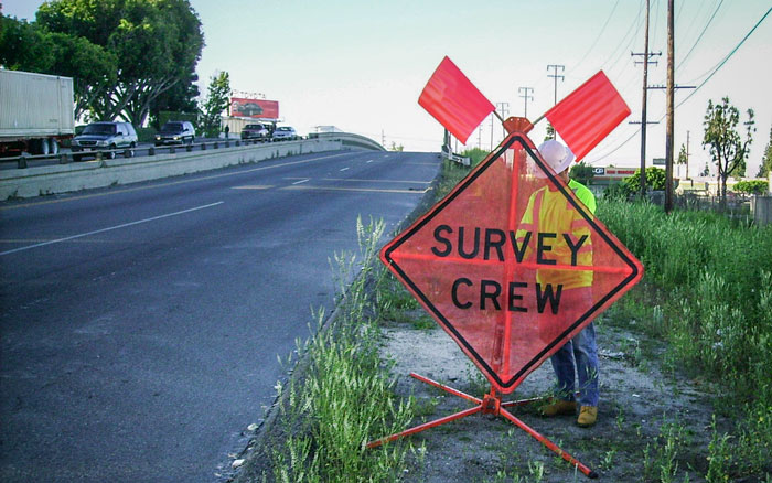
- Construction support
- County-wide photographic mapping
- Detailed topographic field surveys
- Eminent domain exhibits
- Encroachment enforcement
- ESRI deliverables
|
|
- Facilities mapping
- GIS development and data integration
- Parcel acquisition legal descriptions and plats
- Primary geodetic survey control
- Right of way engineering support
- Secondary and photo survey control
- Street widening and improvements
- Survey methodology and procedures consultation
- Terrestrial LiDAR
- Utility location and identification
- Utility pothole coordination
|
|