Technologies to Move Our Clients Forward
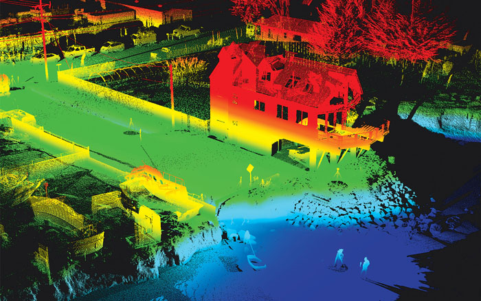
Towill provides our clients advanced terrestrial 3D laser scanning services with an emphasis on the highest standard in quality of project data and deliverables. Towill’s 3D scanning services include data collection for Building Information Modeling (BIM) implementation; deformation studies; industrial metrology; in-situ assessment of tunnels, roads, bridges and other infrastructure; pre- and post-condition surveys for heavy civil construction projects to mitigate owner risk; and related services.
Towill’s terrestrial laser scanning services are supplemented by our mobile and aerial LiDAR capabilities. Many miles of highway, roads, and railroads can be modeled in a short period of time through a combination of these three services. All of the data can be registered together, allowing a point cloud to be provided in one common project datum.