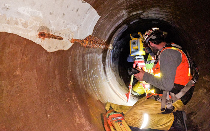
Towill knows and understands the standards of federal, state, and local agencies, including municipalities, water districts, sanitation districts, recycled water agencies, and flood control/water conservation districts. We have provided land surveying, mapping, and LiDAR for pipeline replacement projects, sewer improvements, and treatment and pump station facilities.
| |
- 3D digital terrain models
- 3D topographic and bathymetric models
- Aerial orthophotography
- Aerial mapping
- Airborne LiDAR
- Bathymetric (hydrographic) surveys
- Boundary surveys and cadastral mapping
- Capacity curve calculations
- Construction support
- Corridor mapping
- Deformation monitoring surveys
- Detailed topographic field surveys
- Eminent domain exhibits
- Encroachment enforcement
- ESRI deliverables
- Facilities mapping
- GIS development and data integration
- Master planning survey support
|
|
- Parcel acquisition legal descriptions and plats
- Penstock monitoring and improvements
- Pipeline layout and as-builts
- Plant improvements
- Post construction settlement monitoring
- Primary geodetic survey control
- Right of way and appraisal mapping
- Right of way engineering support
- Secondary and photo survey control
- Sedimentation studies
- Structure as-built and conform surveys
- Survey methodology and procedures consultation
- Terrestrial LiDAR
- Tunnel and intake pump house improvements
- Utility location and identification
- Utility pothole coordination
- Water transmission, storage, and treatment mapping
|
|