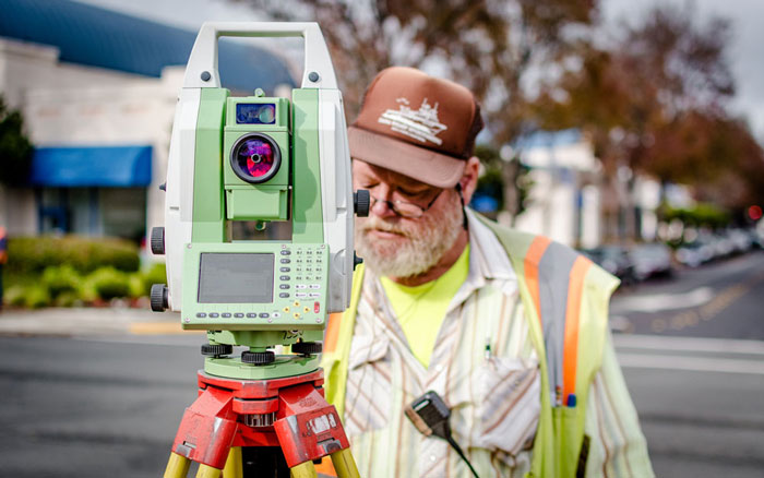
Towill’s history parallels that of the surveying, mapping, and GIS industries. Our innovative solutions on land, sea, and air have won acclaim from our clients. Towill’s best-in-class methods have been adopted by the industry as standards that others follow. We have invested millions in technology and continue to upgrade our field equipment, hardware, and software to remain on the cutting edge of the latest developments.