Innovation and Excellence
Since 1955
Committed to Quality & First-Time-Right Deliverables
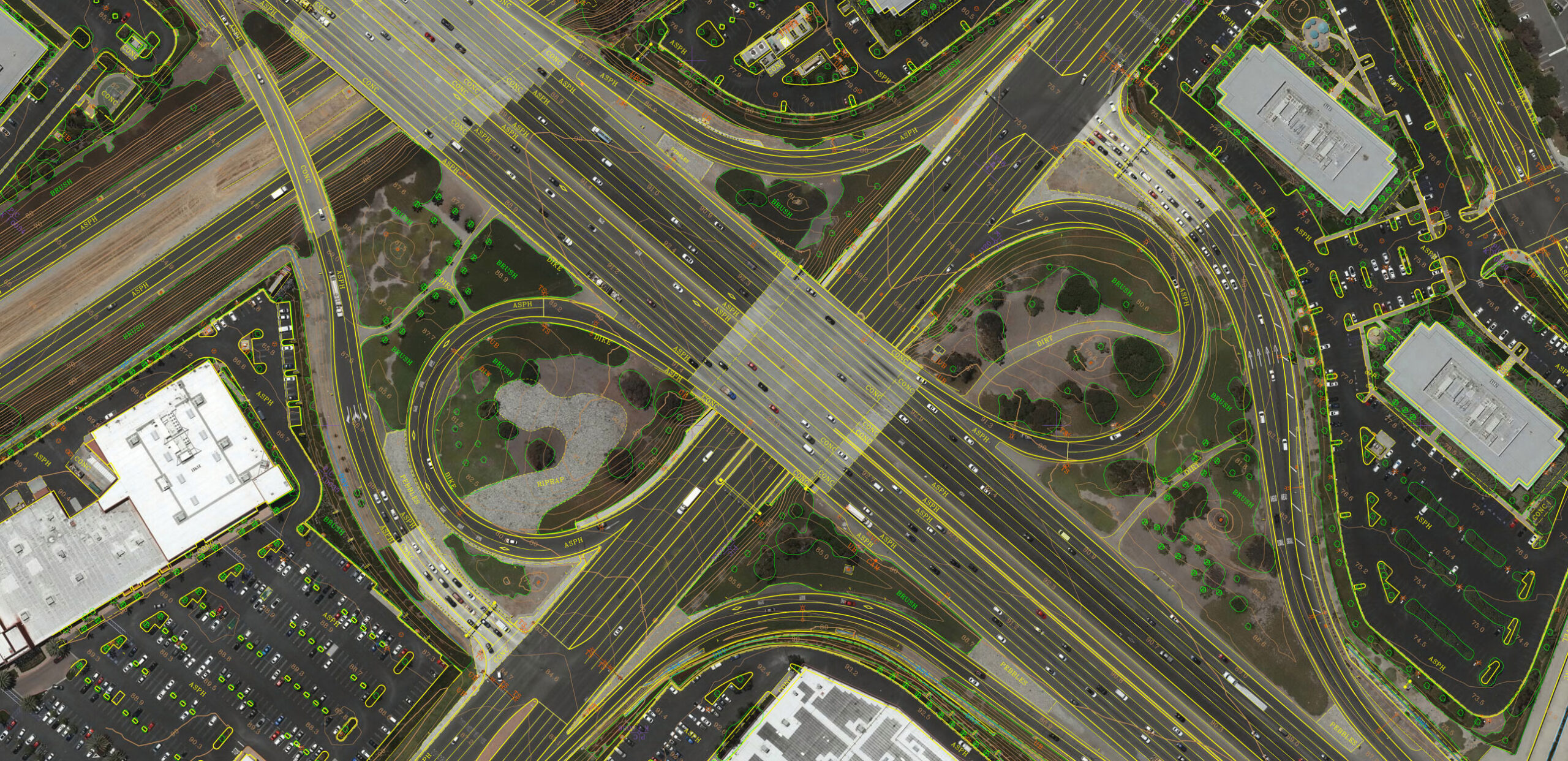
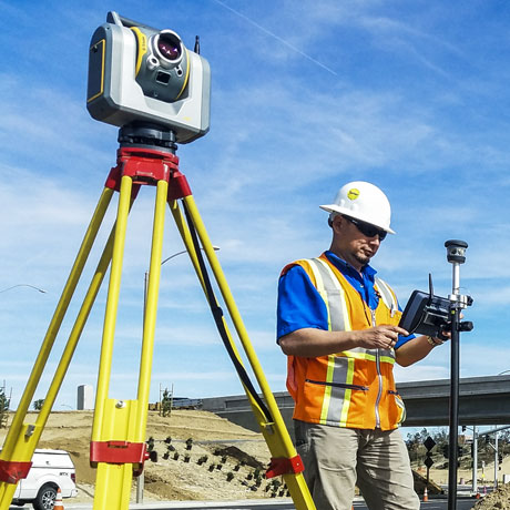
Towill, Inc. is an experienced provider of geomatics services and technologies, offering a broad range of advanced surveying, mapping, and geospatial solution services which include land surveying; high accuracy specialty surveying; aerial photography; airborne, terrestrial, and mobile Light Detection and Ranging (LiDAR); digital 3D and 2D photogrammetric mapping; volumetrics; and geographic information systems (GIS).
Land surveying and aerial mapping is what we do, all we do, and we do it in-house. We take pride in designing cost-efficient technical approaches that continually meet or exceed our clients’ requirements for every project assignment. Our goal is never just to complete a survey or mapping task, but to provide valuable geospatial information that will be used by engineers and others to improve the places where we live, work, and play.
Safety Comes First
Towill is pleased to be certified as Grade A, the highest grade obtainable, from ISNetworld (ISN).
ISN is an online contractor management database, utilized by many agencies and owners. It is designed to meet internal and governmental recordkeeping and compliance requirements.
Utilizing stringent methods for tracking continued improvement in our safety and training practices, Towill offers a safety culture with a solid commitment, dedicated to achieving excellence.

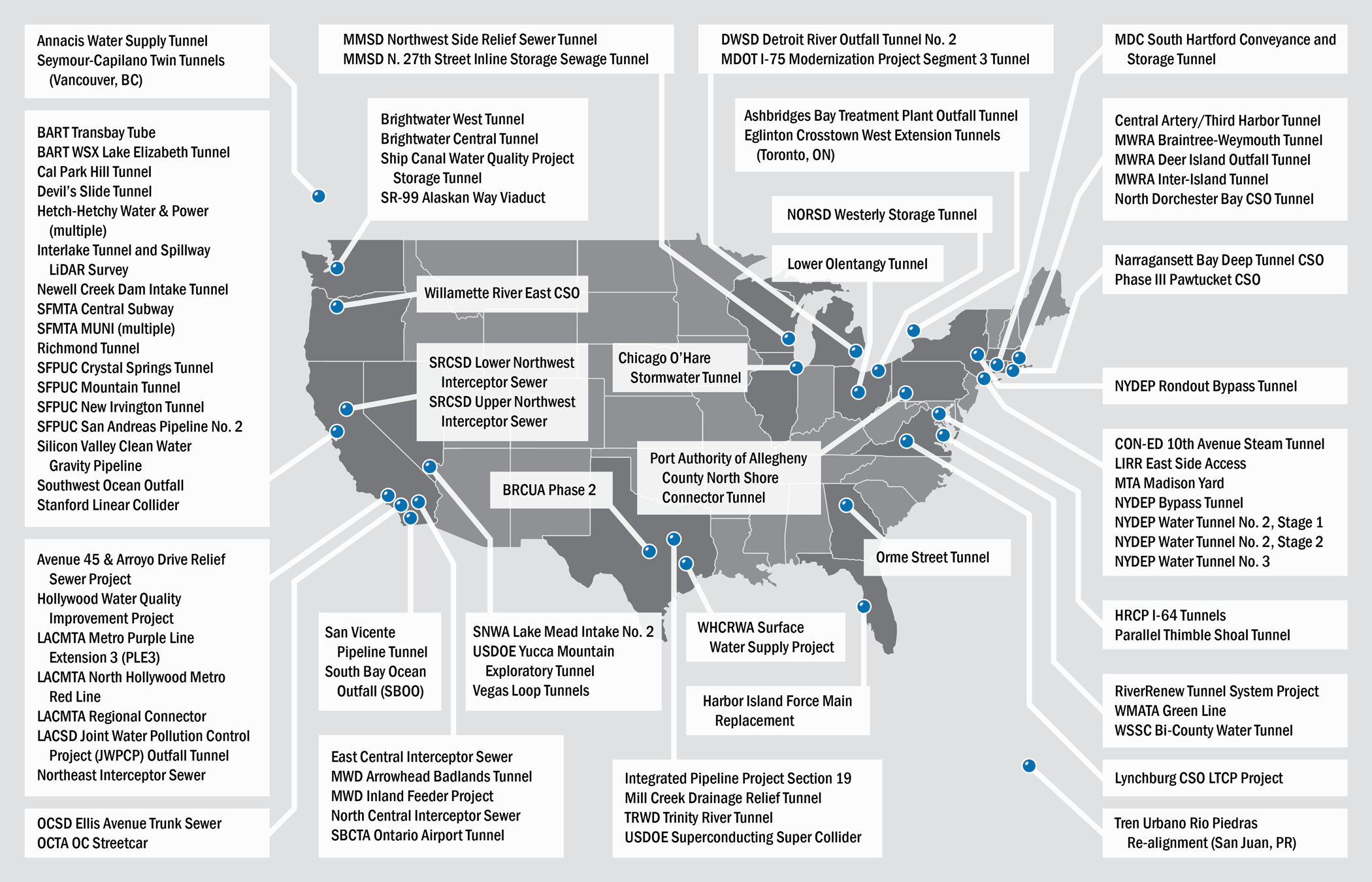
Over 80 Tunnel Projects and Counting
We bring decades of strong project experience, dedicated and experienced staff, and highly specialized equipment to the tunneling world. Learn More »